Radar and satellite imagery services enhanced


Radar and satellite imagery services enhanced
Lau Tsz-ki
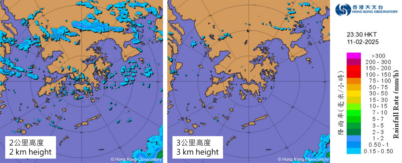
Weather radar images on the evening of 11 February 2025. Image at 2 kilometres above sea level (left) displays more radar echoes compared to the 3 kilometres height image (right), providing a clearer representation of rain area development in the lower atmosphere.
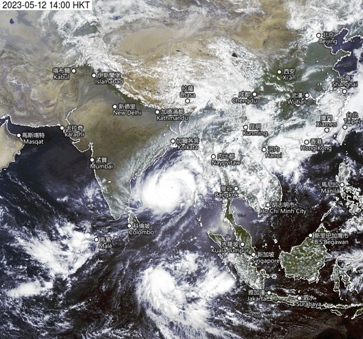
The update frequency of Fengyun-4B satellite images covering Western Asia has increased from hourly to every 15 minutes.
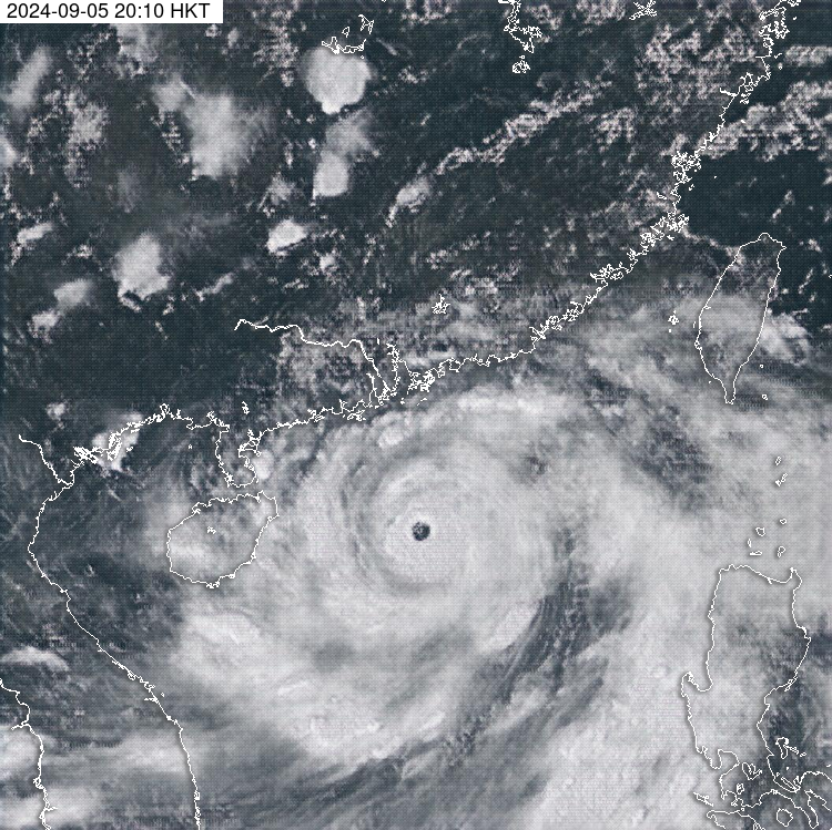
“All-day Visible” satellite images generated using a deep learning method can be used to enhance weather monitoring during nighttime. The image in the figure shows an “All-day Visible” image at around 8 p.m. on 5 September 2024, which is useful for analysing the spiral cloud bands of Super Typhoon Yagi.
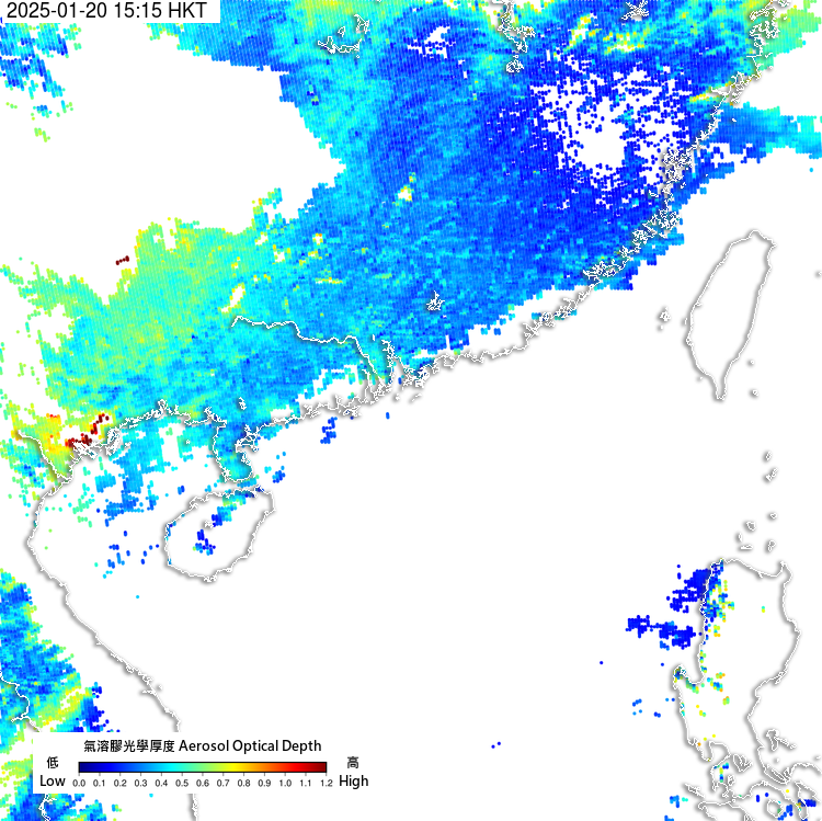
Aerosol optical depth image from the Republic of Korea’s GK-2B satellite helps with monitoring visibility over southern China and the northern part of the South China Sea.