Real-time Chinese satellite images on HK Observatory website
Real-time Chinese satellite images on HK Observatory website (22 July 2005)
|
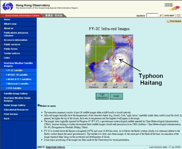
From today (July 22), the public can view real-time imagery from the Chinese Fengyun-2C (FY-2C) satellite on the Hong Kong Observatory's website (http://www.weather.gov.hk/wxinfo/intersat/fy2c/satpic_s.shtml).
The FY-2C satellite is a geostationary meteorological satellite operated by the China Meteorological Administration. Launched in October 2004, the satellite was broadcast on a trial basis from January 2005. It went into operation last month.
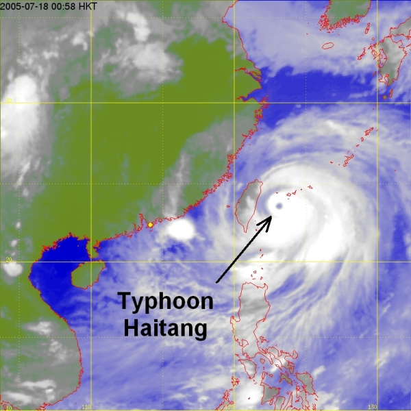
The FY-2C satellite is located some 36,000 kilometres above the Equator at 105o E and is stationary relative to the earth. This enables the satellite to capture cloud pictures over the same part of the globe round the clock. Cloud images from FY-2C cover a wide area, encompassing Asia, western Pacific, Australia, the Indian Ocean and eastern Africa. These images are useful for monitoring tropical cyclones, rainstorms and other weather phenomena.
The website features an animated sequence depicting the movement and development of clouds.
Figure 1 Hong Kong Observatory launches on its website satellite images from FY-2C satellite. The image depicts Typhoon Haitang to the east of Taiwan at 1 a.m. on 18 July 2005.
Figure 2 Typhoon Haitang to the east of Taiwan at 1 a.m. on 18 July 2005. |

