Weather radar information service enhanced
Weather radar information service enhanced (5 August 2004)
|
Starting from today (August 5), members of the public will be able to see the movement and development of rain around Hong Kong by playing the animated sequence of weather radar pictures at the Hong Kong Observatory's website The animated sequence contains weather radar pictures of the previous two hours at 12-minute intervals. Rain intensity is represented by different colours on the radar pictures. Hong Kong is located at the centre of the picture with a coverage extending out to a distance of 250 kilometres, encompassing most of Guangdong and a portion of the northern part of the South China Sea. The Acting Assistant Director of the Hong Kong Observatory, Mr H G Wai, said, "The observatory issues local weather forecasts and warnings that are in general valid for a larger region covering the whole of Hong Kong. The animated sequence of radar pictures can allow individual members of the public to estimate whether their respective locations will be affected by rain in the near future or not, thus helping them to better plan their outdoor activities." The observatory began to offer the "Course on Interpretation of Radar and Satellite Images" last year. This course was well received by the public. The observatory will continue to run similar courses so that more members of the public can effectively use the radar and satellite information on its website. Other information on weather radar is available under 'Weather Radar' at the 'Education Resources' of the observatory's website
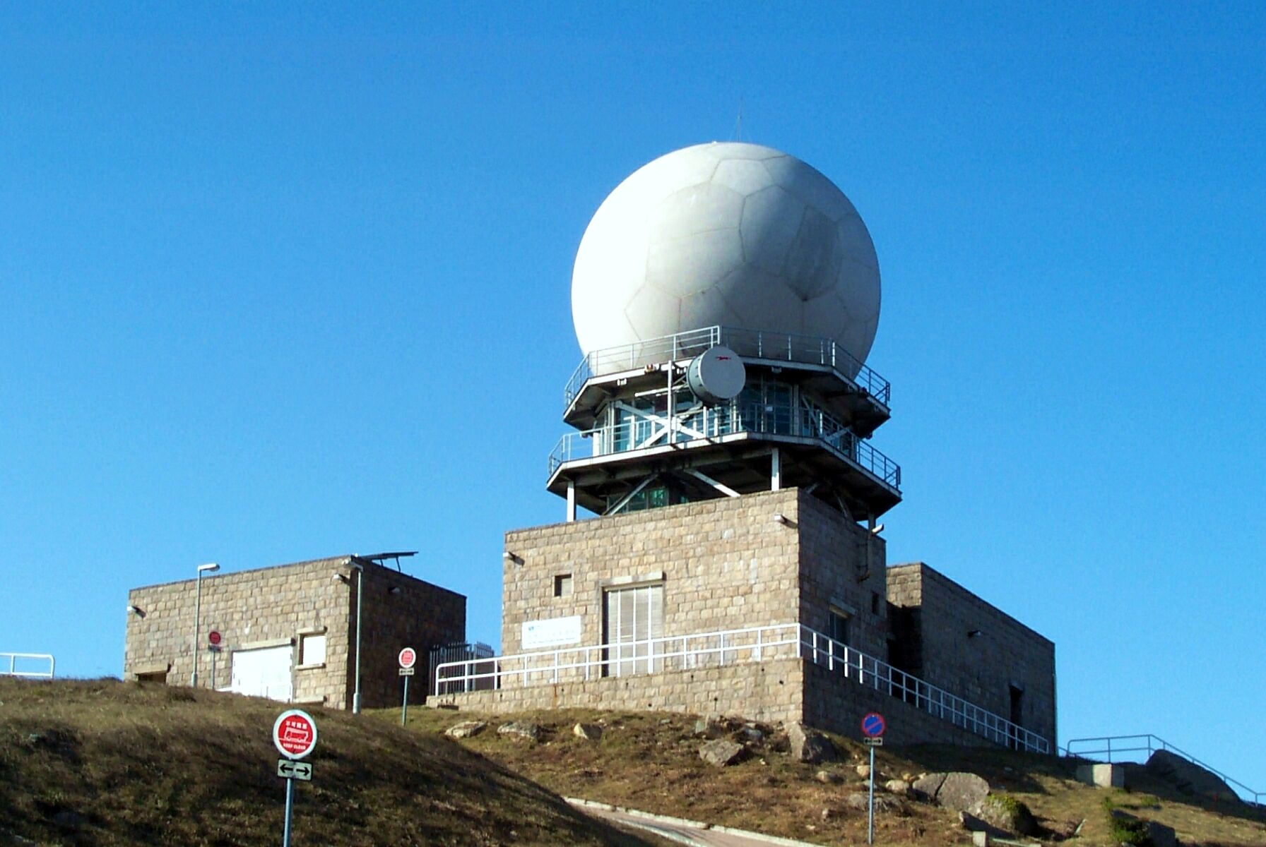
Tai Mo Shan weather radar station
Weather radar image sequence on Observatory's website |

