The Observatory enhances information on regional weather map
28 March 2014
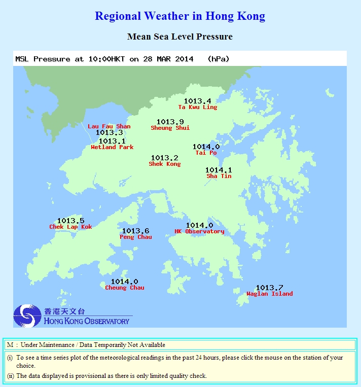
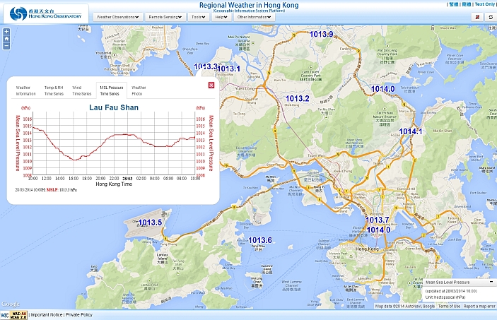
The Observatory enhances the content of the Regional Weather web page by displaying the Mean Sea Level Pressure information on the weather maps. Members of the public can now easily view at once the mean sea level pressure data recorded at various automatic weather stations in Hong Kong. You are welcome to browse the corresponding traditional regional weather web page and the web page on the Geographical Information System (GIS) platform at
http://www.hko.gov.hk/wxinfo/ts/index_pre_e.htm and http://maps.weather.gov.hk/index_e.html respectively.

Figure 1: Mean Sea Level Pressure shown on the traditional regional weather web page.

Figure 2: Mean Sea Level Pressure shown on the GIS-based regional weather web page.