The Observatory Enhances its "Met on Map" Service
8 December 2017
The Hong Kong Observatory enhanced its “Met on Map” web service today (8 December 2017) to support the display of higher resolution satellite photos (resolution increased from 8 km to 2 km) in the “Satellite Imagery” layer. When viewed together with other available weather graphic layers, the enhanced service allows members of the public to better discern the cloud distribution and weather conditions in and around Hong Kong.
“Met on Map” is available at http://maps.weather.gov.hk/gis-portal/web/
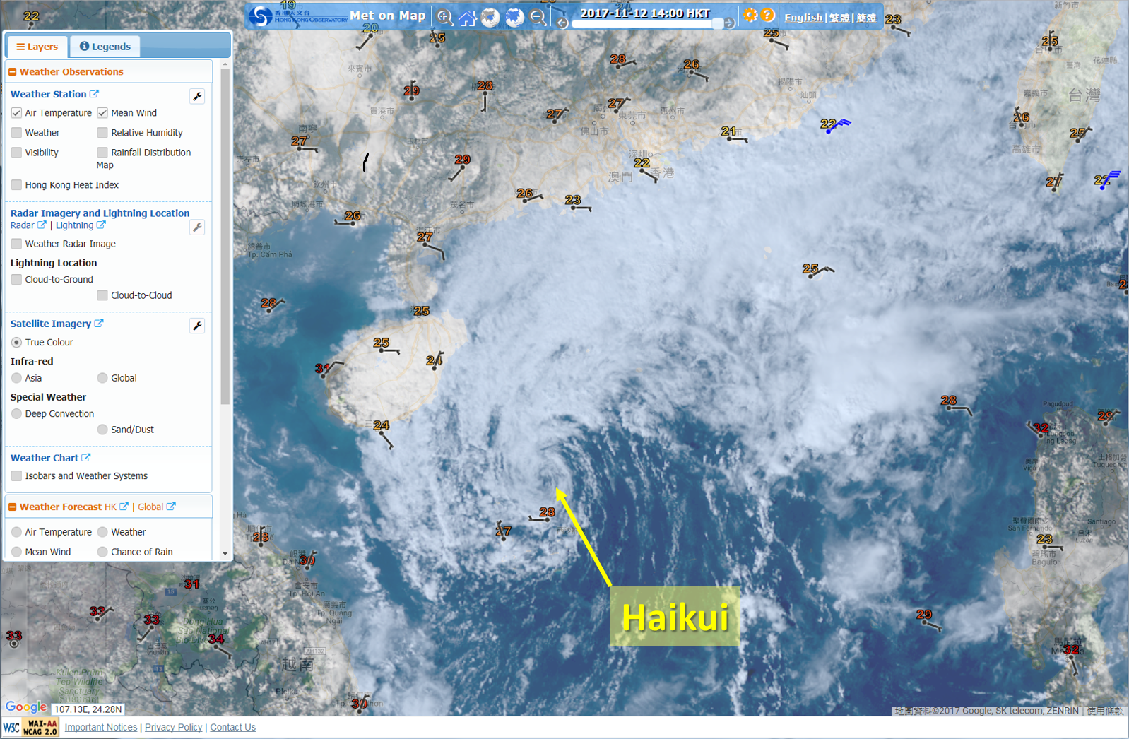
“True Colour” satellite image on enhanced “Met on Map” clearly reveals the fine cloud structure of Tropical Cyclone Haikui over the northern part of the South China Sea on 12 November 2017.