Enhanced tropical cyclone information service
10 June 2013
|
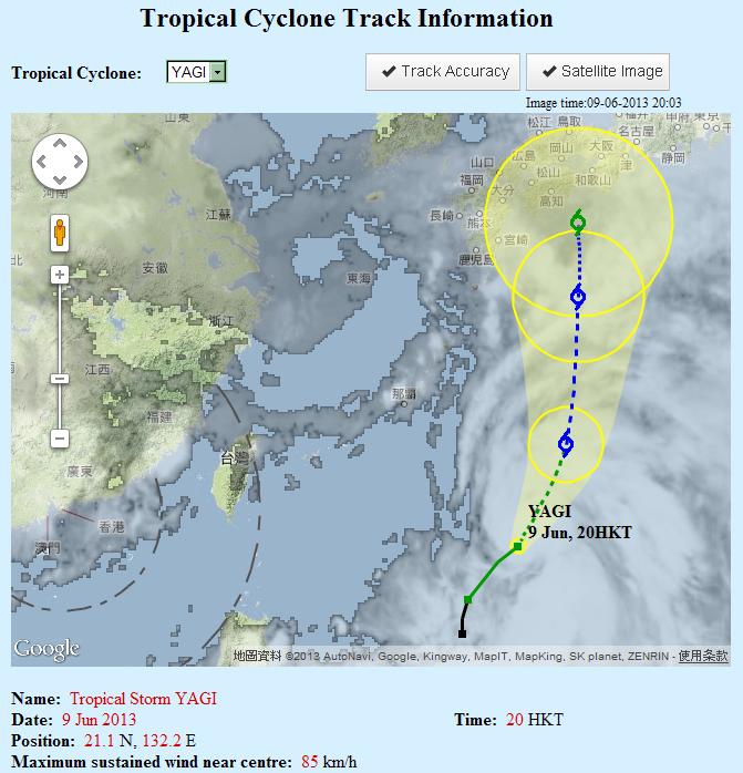
The Observatory enhances today (10 June) the tropical cyclone track information webpage (Geographic Information System version) with the following information:
(1)overlay of satellite image: this depicts the pattern and coverage of clouds associated with the tropical cyclone; and (2)region of tropical cyclone movement in yellow colour: this is the region within which the tropical cyclone ismore likely to fall and move. This is an indication of the accuracy of the forecast track.
|