Satellite Imagery of Interest : Severe Typhoon Hato
25 August 2017
A new Satellite Imagery of Interest is now available on the Observatory's website. The satellite imagery animation shows approaching of Severe Typhoon Hato to the coast of Guangdong.
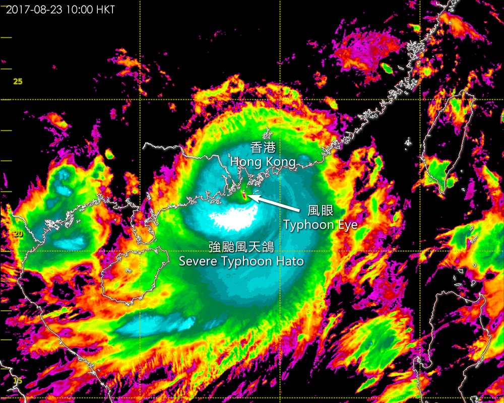
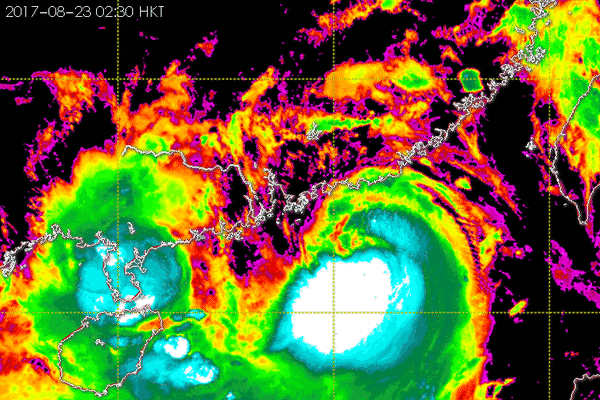
On 23 August 2017, Severe Typhoon Hato brought the first Hurricane Signal No. 10 to Hong Kong in the last five years. The animation of enhanced infra-red satellite imagery captured formation of a typhoon eye of Hato in the morning of 23 August which represented its further intensification during approaching to the coast of Guangdong. (The imageries were captured by Himawari-8 satellite of Japan Meteorological Agency)
You are welcome to visit the Observatory's Weather Satellite Imagery webpage for details.
http://www.weather.gov.hk/wxinfo/intersat/satellite/sate.htm