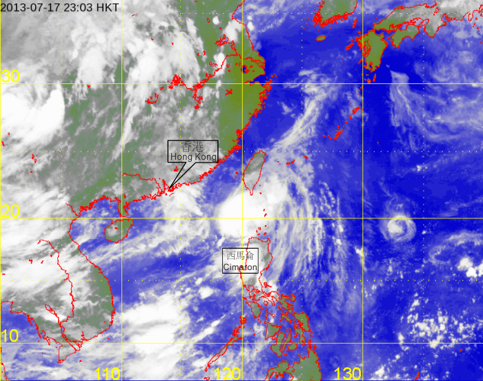
TROPICAL CYCLONES IN 2013

[The satellite imagery was originally captured by the Multi-functional Transport Satellite-2 (MTSAT-2) of Japan Meteorological Agency (JMA).]

[The satellite imagery was originally captured by the Multi-functional Transport Satellite-2 (MTSAT-2) of Japan Meteorological Agency (JMA).]