Severe Tropical Storm Mitag (2517) > Figure 4
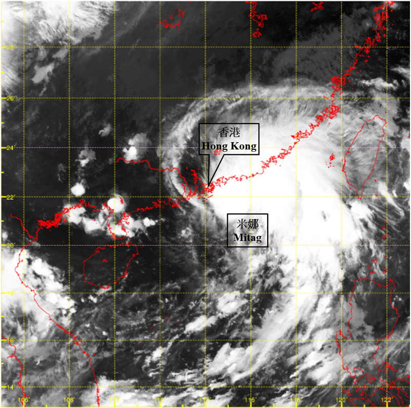
Figure 4 Infra-red satellite imagery at around 8 a.m. on 19 September 2025. Mitag intensified into a severe tropical storm and attained its peak intensity with an estimated maximum sustained wind of 90 km/h near its centre at that time.
[The satellite imagery was originally captured by Himawari-9 Satellite (H-9) of Japan Meteorological Agency.]
[The satellite imagery was originally captured by Himawari-9 Satellite (H-9) of Japan Meteorological Agency.]