HKO - Under the Same Sky 130 Years - Display Area 1: Exhibit 2
Display Area 1 : Meteorological Observations before the Establishment of the Hong Kong Observatory
Exhibit 2
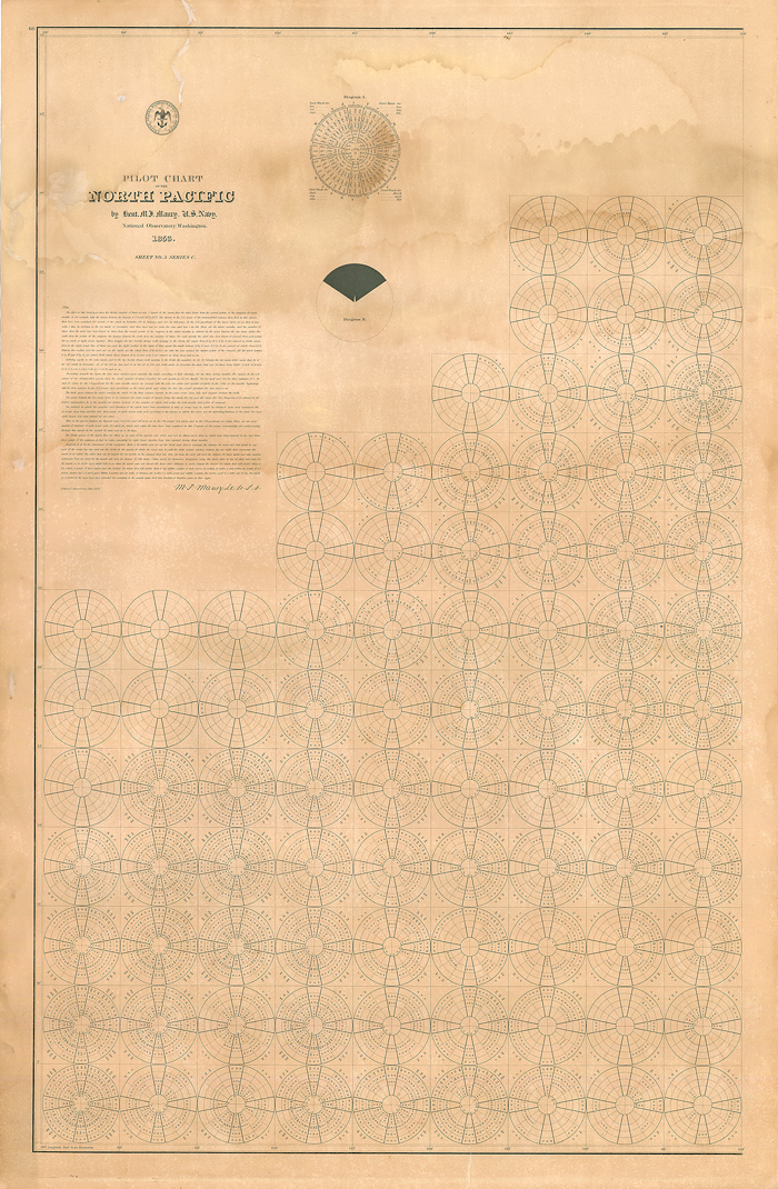
Pilot Chart of the North Pacific for mariners, devised by Lieutenant M. F. Maury of the U. S. Navy, and published by the National Observatory, Washington D.C. in 1853. This chart provides typical wind speeds and directions of each month of the year for every 5 by 5 degrees square of the ocean, including wind information for the area around Hong Kong (110-115E, 20-25N). This serves to illustrate the importance of wind information to mariners.
Courtesy of the Hong Kong Maritime Museum
