HKO - Under the Same Sky 130 Years - Display Area 5
Display Area 5 : Evolution of the Observatory before WWII - Guardian of the Land
Display Area Introduction
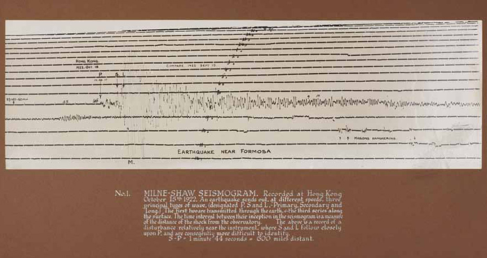
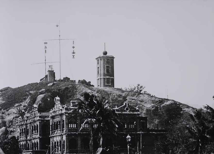
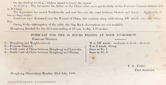
Shortly after the establishment of the Observatory, a tropical cyclone signal warning system was set up in 1884 that provided typhoon information to vessels regarding the location and movement of tropical cyclones. Since 1892, the Observatory has sent a 24-hour weather forecast to local newspapers every day. Daily weather maps were posted at the piers for public reference beginning in 1909. Radio Hong Kong began broadcasting local weather forecast in 1928. In 1918, a severe earthquake hit Shantou in Guangdong province, with some buildings in Hong Kong suffering minor damage, prompting the Observatory to start its work on earthquake monitoring in 1921.
Tropical cyclone warning signals hoisted atop Signal Hill in Tsim Sha Tsui. The left side shows different typhoon symbols hanging on the signal mast that represent the location and movement of tropical cyclones. Photograph taken in the early twentieith century.
Hong Kong Public Records Office, Government Records Service
Starting from 1892, the Observatory began to issue 24-hour weather forecasts to the public. This weather forecast was issued on 23 July 1906.
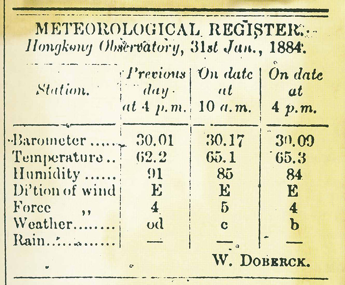
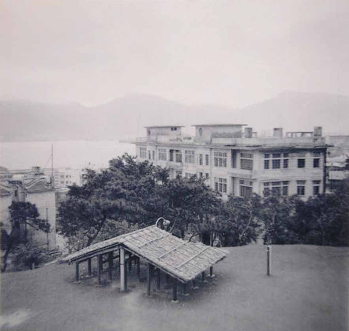
Temperature records at the Observatory began in 1884. The thermometers can be seen beneath the shed on the Observatory's lawn. Photograph taken in the 1950s.
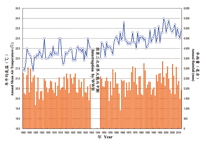
Time series plot of temperature and rainfall records at the Observatory from 1885 to 2012. This graphic illustration provides solid proof of the steady temperature rise due to global warming and urbanisation.
The earliest available seismogram of the Hong Kong Observatory, showing the earthquake of 15 October 1922 in Taiwan recorded on the Milne-Shaw seismograph.
Photo by Science Museum/Science and Society Picture Library
