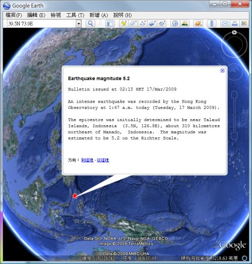
KML file showing epicentre included in the earthquake information web page
|
Starting 11 May 2009, the Hong Kong Observatory includes a Keyhole Markup Language (KML) file on the "Press Releases on Earthquake" web page to indicate the location of the earthquake epicentre. Users can use KML-supported Geographical Information System display software (such as "Google Earth") to view, drag and zoom on the map bearing the location of epicentre and the press release (Please see sample below.) Press releases on earthquake can be accessed via the following web page: |