Skip Content

Weather Photos of Northern Lantau

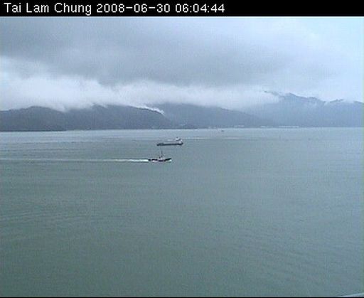
The Hong Kong Observatory recently installed a camera at the Tai Lam Chung Terminal Doppler Weather Radar Station to capture weather photos overlooking northern Lantau. The real-time weather photos are shown at the Observatory's "Regional Weather in Hong Kong" webpage (http://www.weather.gov.hk/en/wxinfo/ts/index_webcam.htm) and PDA webpage (http://www.weather.gov.hk/en/wxinfo/ts/index_webcam.htm) to facilitate the public, tourists and general aviators to better plan their journey to Lantau. Photos taken between 7 a.m. and 9 p.m. are displayed and updated every 15 minutes.

Hong Kong's main hub in land, sea and air traffic is just next to northern Lantau.  For instance, the sea route connecting Kap Shui Mun, Ma Wan Channel and Urmston Road is a vital waterway between Hong Kong and the Mainland.  The North Lantau Highway is the main route to the Hong Kong International Airport on land.  In the air, there are busy flights in and out of the airport.  General aviation users such as helicopter pilots and vessel navigators will also find the weather photos useful for real-time monitoring of the weather conditions such as the cloud amount, cloud base height and visibility in the area to aid the safe operation of helicopters and vessels.

With the inclusion of the photos of northern Lantau, real-time weather photos at 11 different places are now available on the Observatory's website. The Observatory will continue to enhance its public weather services through the addition of more weather photos and information at other suitable places.


 A weather photo overlooking northern Lantau.  On the day of photo taking, the cloud base was rather low with a height of around 300 metres.  The weather condition was very unstable, as manifested by the clouds streaming from the mountain gaps.

Figure 1  A weather photo overlooking northern Lantau. On the day of photo taking, the cloud base was rather low with a height of around 300 metres. The weather condition was very unstable, as manifested by the clouds streaming from the mountain gaps.


Tai Lam Chung Terminal Doppler Weather Radar Station. 

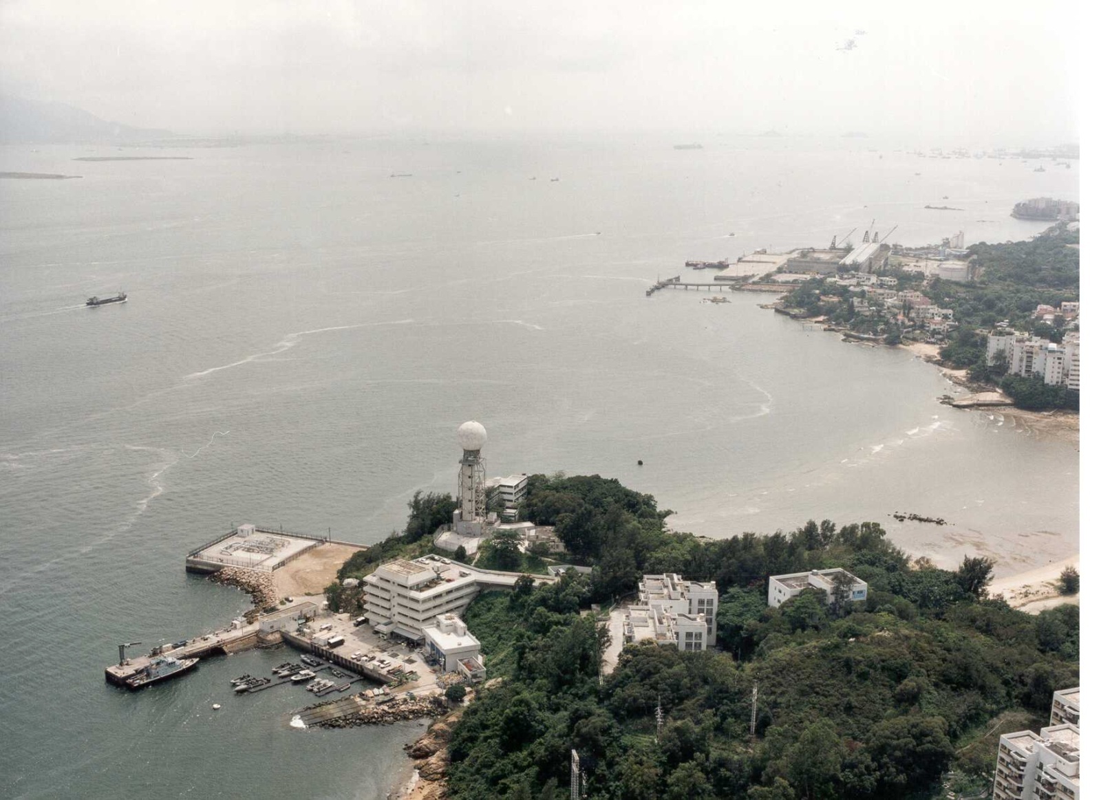
Figure 2  Tai Lam Chung Terminal Doppler Weather Radar Station.