Map of earth tremors felt in Hong Kong launched
9 September 2021
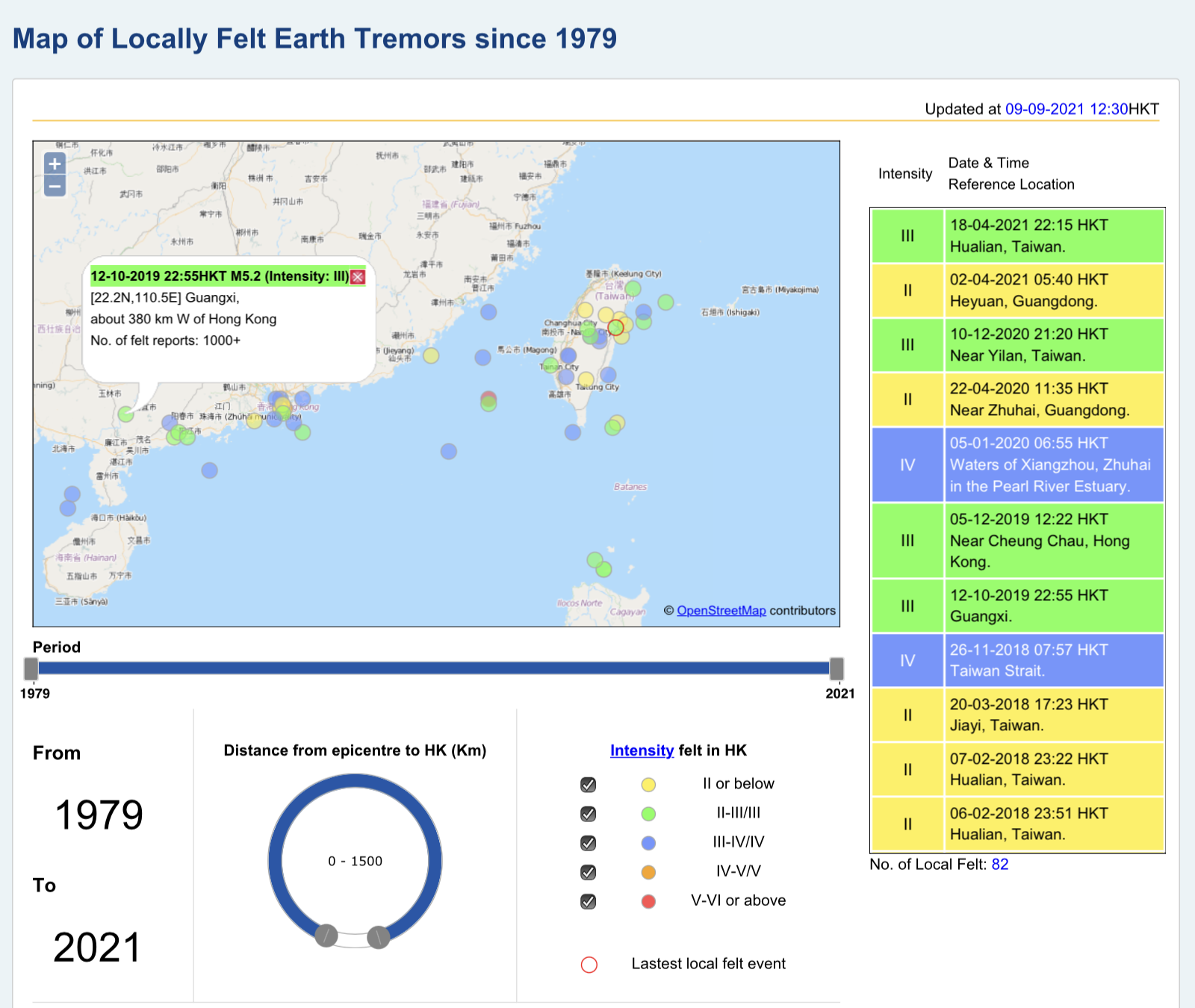
A newly-developed map to display records of locally felt earth tremors is now available at “Map of Locally Felt Earth Tremors since 1979”. The map shows the details of all historical cases since 1979. Users can easily choose to display the required records by specifying filtering criteria such as year range, distance of earthquake event from Hong Kong and the intensity of the tremor.
Since the operation of the Hong Kong Observatory’s short-period seismograph network in 1979, locally felt earth tremors were recorded around twice a year on average.