The Observatory enhances Global Mosaic Satellite Imageries
18 June 2020
The Hong Kong Observatory has further enhanced its Internet satellite imagery services on its website today (18 June 2020) by increasing the update frequency of global mosaic infra-red satellite imageries from 3-hourly to half-hourly.The global mosaic infra-red satellite imageries (sample in Figure 1) are generated using data from a total of six different geostationary meteorological satellites. The imageries enable the public to get hold of the latest weather conditions over the entire globe so that they could plan ahead if any severe weather would affect certain places and impact on their travel.
The global mosaic infra-red satellite imageries are available on the Observatory website which can also be found at the “MyWorldWeather” mobile application and the Severe Weather Information Centre 2.0 (SWIC 2.0) beta version webpage developed by the Observatory.
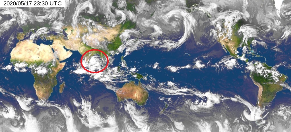
Figure 1 The global mosaic infra-red satellite image captured at 7:30 a.m. (Hong Kong Time) on 18 May 2020. The red circle shows the circulation of tropical cyclone Amphan over the Bay of Bengal.