Satellite Imagery of Interest : Cold Front
24 February 2017
A new Satellite Imagery of Interest is now available on the Observatory's website. The imagery shows a cold front over southeastern China on 22 February 2017.
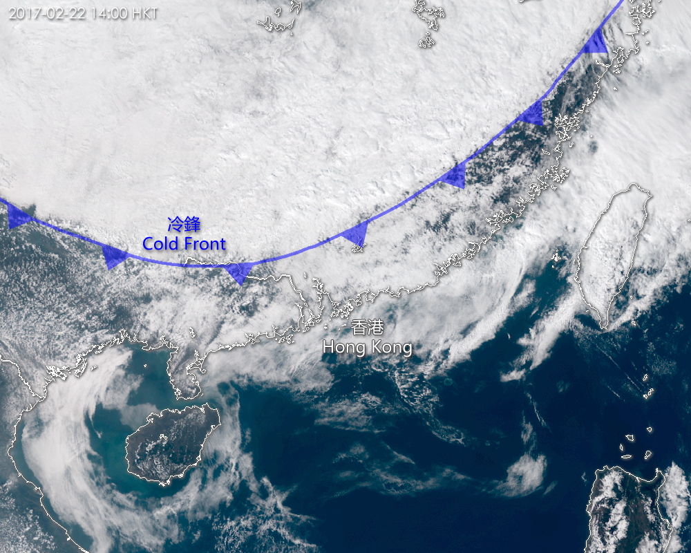
A cold front is the leading edge of a cold air mass which advances against a warm air mass. The denser cold air undercuts and lifts up the warm and moist air resulting in the formation of frontal clouds. The satellite imagery shows the frontal clouds associated with a cold front over southeastern China on 22 February 2017. (The imagery was captured by Himawari-8 satellite of Japan Meteorological Agency)
You are welcome to visit the Observatory's Weather Satellite Imagery webpage for details.
http://www.weather.gov.hk/wxinfo/intersat/satellite/sate.htm